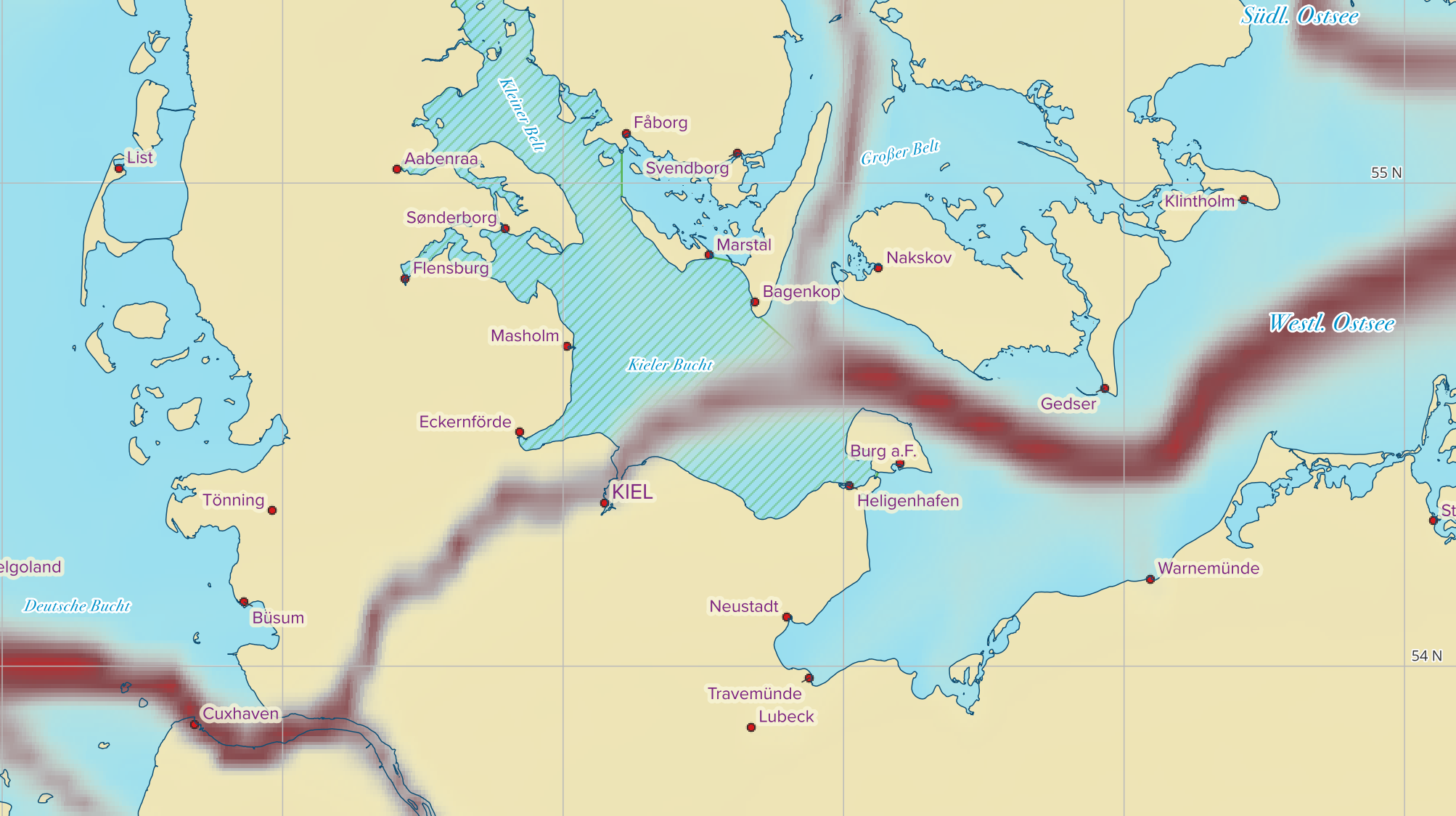
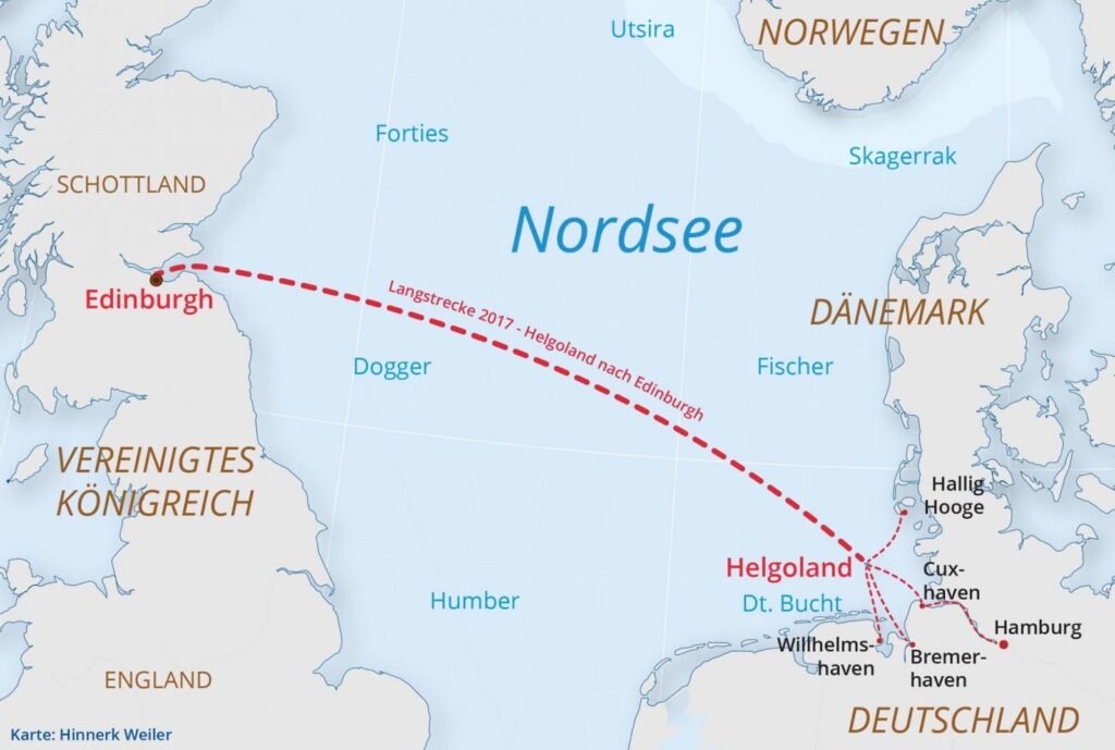
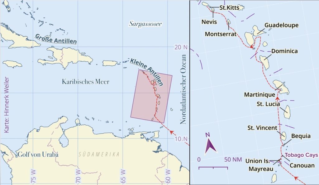
Some of my daily work is to create printable and static online maps for magazines in various scales, details and often with some unique information that only maritime minded readers will find recognizable. This post is about the tools and data I use. Maybe it will evolve to kind of a scratchpad for my personal best practices and links to ressources to keep in mind.
Software
Most of the static map creations I do are made using the open Source Software QGIS. – Maybe it is better referenced as a full scale powerful workshop rather a toolbox to work on all geospatial tasks and I am not ashamed to admit only using a fraction of what it has to offer: www.qgis.org
Quite often the final touch is than added using Adobe Illustrator and/or Indesign.
Map Data
But to make Maps one needs Data. For large scale Maps I work with map Data from Natural Earth Project. They cover the whole earth at 1:10m and have a variety of shape-file (map data) forom ocean depth to european railroad tracks: www.naturalearthdata.com
For rather small scale maps I use most often Open Street Map. While Downloading data from OSM is quite difficult there are three base Maps maintained by the German FOSSGIS e.V. They can be downloaded and – on a decent Computer – be used in QGIS as very accurate maps. But be warned: On weaker machines loading all three 800MB base maps in a large scale map will take forever everytime the map is redrawn: osmdata.openstreetmap.de/data/
Leave a Reply