Tag: Links
-
Making Maps – Ressources
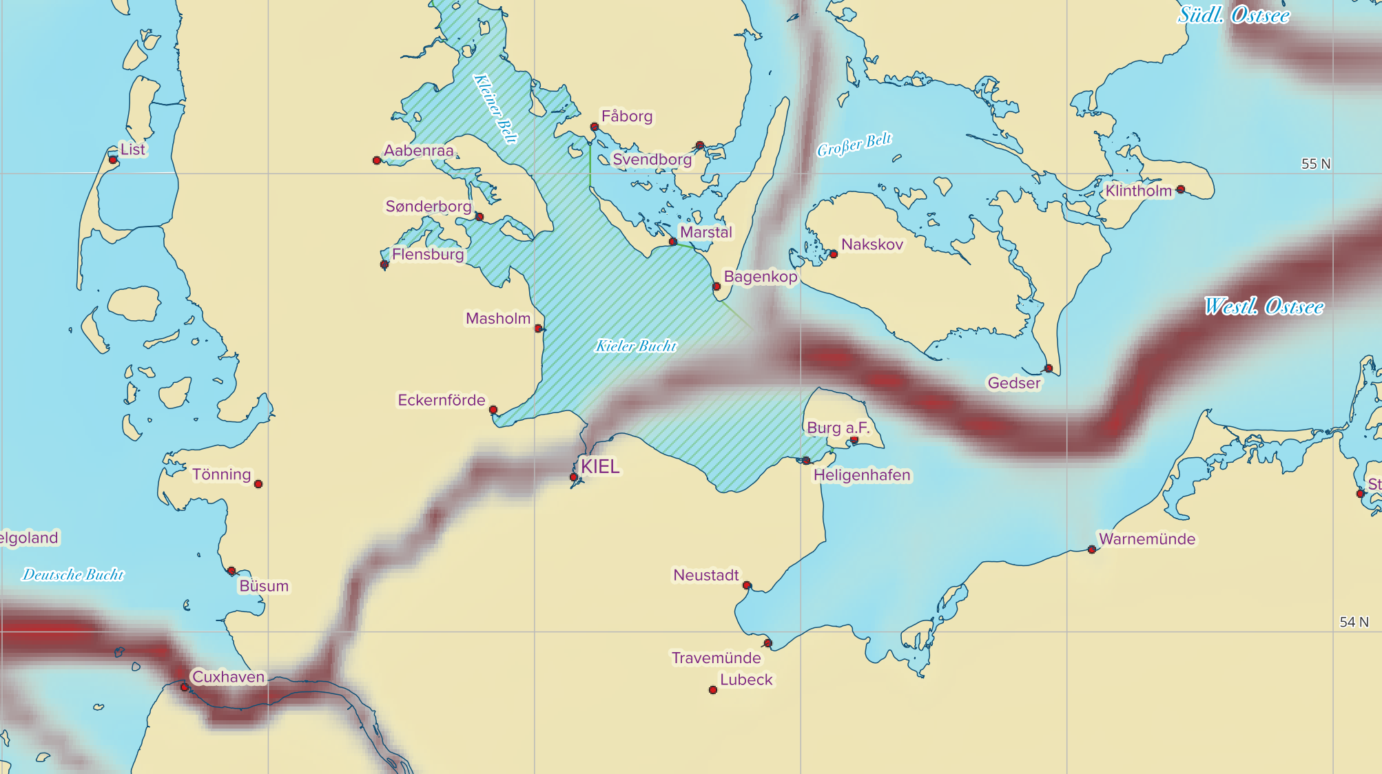
Some of my daily work is to create printable and static online maps for magazines in various scales, details and often with some unique information that only maritime minded readers will find recognizable. This post is about the tools and data I use. Maybe it will evolve to kind of a scratchpad for my personal…
-
Open AIS data
I just found an open and (for now) free source of world wide terrestrial AIS data at aisstream.io. and I think I will play a bit with that in a not so far future.